In theory that is correct, but this trail is TOUGH. From the get-go it is a relentless climb up!
I wore my Garmin, and what seemed like .75 miles was only .33 and by the half mile mark my shirt was drenched. It wasn't necessarily warm -- 66F and overcast, but I was breathing hard and working up a good lather. My heart rate and breathing was equivalent to running a 6 mile tempo run.
I didn't dilly dally except to take the occasional picture and I was making progress at about 35 minutes per mile -- assuming my Garmin was accurate and could handle all the switchbacks and the heavy tree layer.
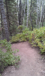
The trail for the first mile is mostly heavily forested with pine and birch trees. The trail is packed mud with some loose rocks. Believe me going back down was treacherous. I definitely resorted to using my trusty walking "staff" and it also saved me at least a few times from a nasty face plant.
After about a mile or so, the trail empties out in Alexander Basin. It is mostly a meadow that isn't terribly exciting except it contains a lot of knee and waist high plants. The trail at this point becomes pretty narrow and is sometimes not obvious where it will lead you -- but there is definitely a trail there. Also at this point the trail, mercifully levels out for a little while.
I eventually came to a rock slide and the trail, which I would later learn, crosses the rock slide. I saw some marking on the rock slide that seemed to indicate to me that I was supposed to climb UP the rock slide. So I did. This is the most direct way up to Gobbler's Point but also the most dangerous and most treacherous. It was a battle to almost literally crawl all the way up and it probably took me 45 minutes (including a break) to go about .25 miles. Little did I know there was a nice -- but steep climbing path that I had missed. Luckily the rock side did reconnect with the trail. I thought it was a bit extreme to be climbing this but I also saw evidence that other people had done the same. On the way back down I talked to a number of hikers who had made the same mistake as I did. So people reading this after me: do NOT climb the rock slide -- cross it...
Upon reaching the top, I was stunned with the views. As you will see from the pictures you can clearly see all the surrounding mountain peaks. It was also significantly more colder up there -- at least by 5 degrees. My drenched shorts and shirts were no match for the chill in the air, but I was still pretty comfortable. However, I started to panic when it started to rain (a little) and I had some problems initially finding the path back down. While there were some other people and some clearly marked trails they were not the ones that I had taken to get up there. Mine appeared to be a less traveled one and it took me a few passes before I found it. Luckily there is great cell phone reception up there....
Going back down wasn't much easier than going up. I fell nearly a dozen times. From a cardio standpoint, it was much easier, but my shoes, my knees and quads took a beating. Be aware you may have to do some butt sliding on the way down because of the steepness.
Overall this was an awesome hike. I wouldn't take this hike though if you are out of shape. The climbing is just relentless. I also *highly* recommend taking a walking stick or ski poles. Dogs seem to be welcome on the trail as well and it was awesome meeting a bunch of them. This isn't a well traveled trail and the parking lot is fairly small, so get there early. Also bring a jacket for the top.
The parking lot
I'll be going straight.
Typical stretch of trail near Alexander Basin. Narrow.
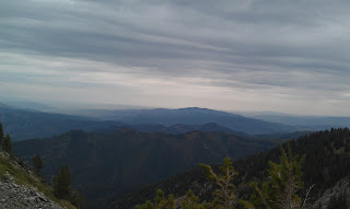
View looking north and west
Don't climb this. Only rookies do.
Idiot me, half way up.
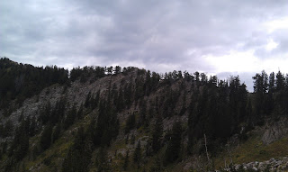
Ridge along Gobbler's Knob
You might be able to see Antelope Island in the distance
At the top. Big Cottonwood Canyon road below
You can literally see for miles!
The fin of Gobbler's Knob
More stunning views.
Salt Lake Valley Below
I actually got good cell phone connection up here.
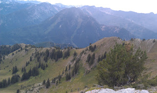
I hiked along that ridge!
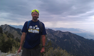
Kindly strangers took a picture of me
I believe Mount Raymond is behind me
I believe Mount Raymond is behind me
Steep drop below.
The rock outcropping is Gobler's Knob.
Biggest caterpillar I've ever seen.
Typical downhill. Don't slip.
My trust walking staff +1.












No comments:
Post a Comment