I looked at the ominous clouds and weighed my chances. I was already 2 miles in and I was worried about the time as I had spent ample amounts of time at each lake. However, I knew I had gone this far and that another .3 miles wasn't going to kill me... or would it?
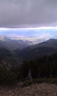
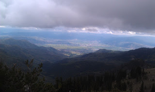
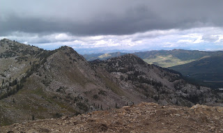
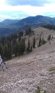
Either way this was the highlight of my trip. There are so many awesome views of the valleys below. The trail quickly turned into sand -- much like you'd find at the beach. In a way, it was like climbing the dunes in the midwest, but far less loss of traction. It was a pretty minor ascent to the top, but to make it to the very top it does require a bit of bravery.
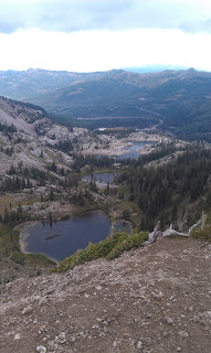
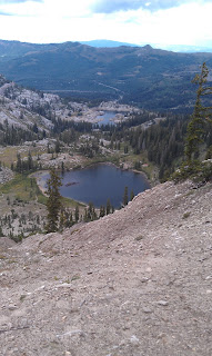
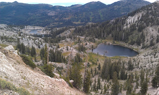
The trail is well marked and easy to access, however, one false step could lead you hurtling down a mountain side -- seriously. Also, if you are afraid of heights this small detour is NOT for you. Even I was getting a little nervous up on the peak with the wind blowing and storm clouds brewing. However, the risk was worth the photos I got... Just some incredible shots.
Warning sign
Lake Catherine and Lake Mary
Heber Valley below....
Elevation roughly 10500 feet
Don't fall!
Don't fall!
One false step....
A lot colder up there
Waterfall on the way back









No comments:
Post a Comment